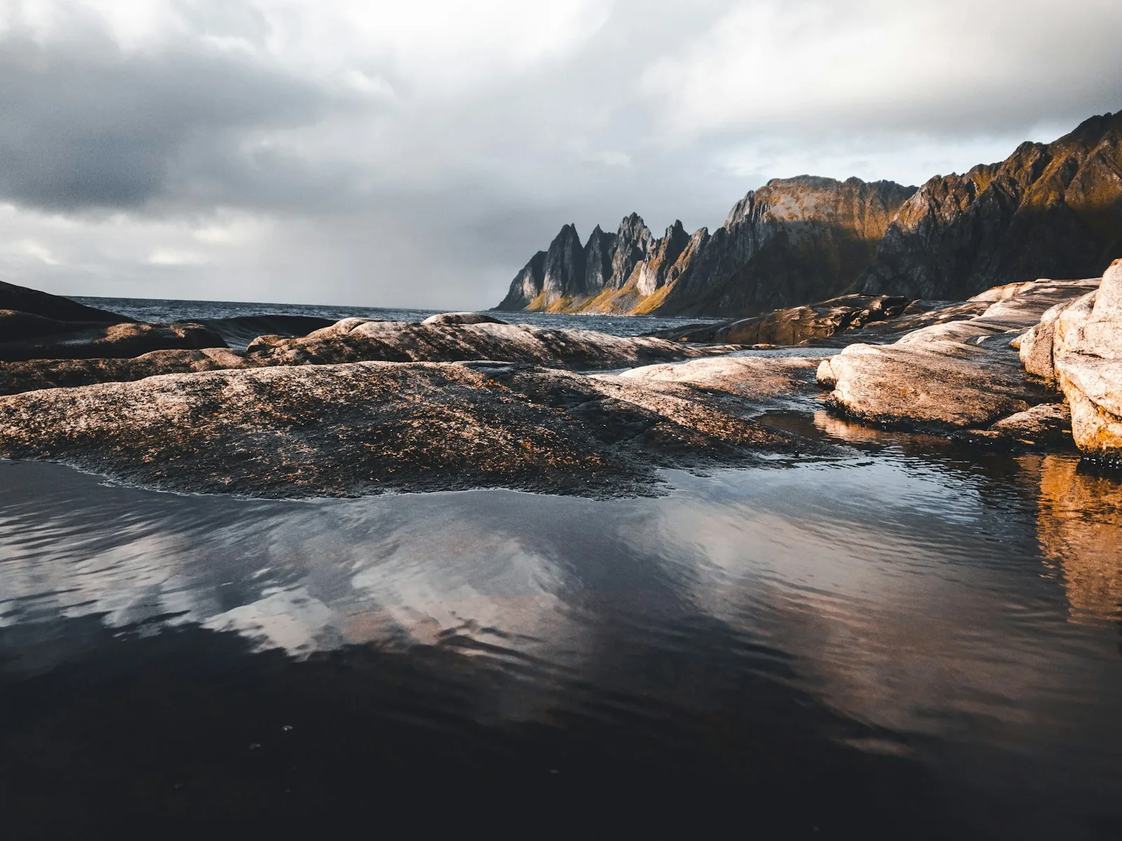
Driving time calculatorFelix Bacher / Unsplash
Include slower Nordic roads, rest stops and ferry time instead of relying on distance alone.
Estimated journey5 hr 19 minAdd extra margin for winter roads, queues and scenic stops.
ExploreNorden field kit
Practical tools for choosing, packing and shaping the trip—built as thoughtful guidance, never a booking funnel.
Compare destinations ↗Five practical calculators
These estimates help with early planning. They are not live routing, pricing, trail grading, weather or astronomical guarantees.
Include slower Nordic roads, rest stops and ferry time instead of relying on distance alone.
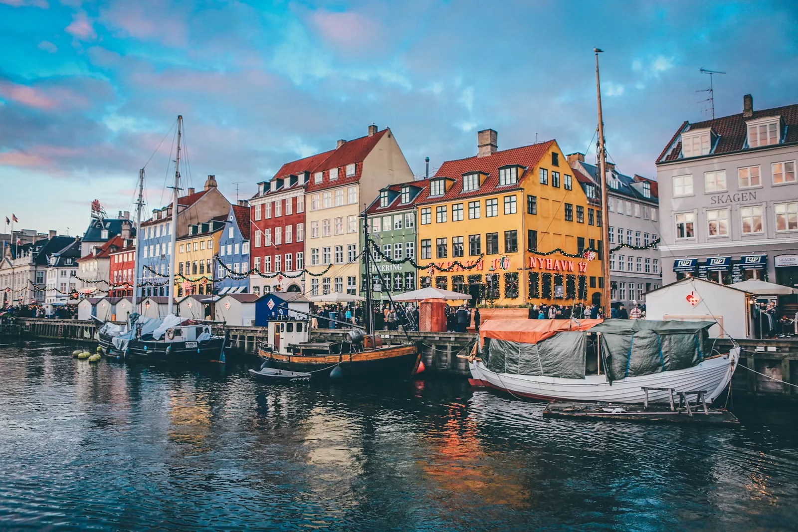
Build a broad GBP planning range for accommodation, meals, attractions and local transport.
Combine distance, ascent, terrain and experience for a cautious first-pass effort estimate.
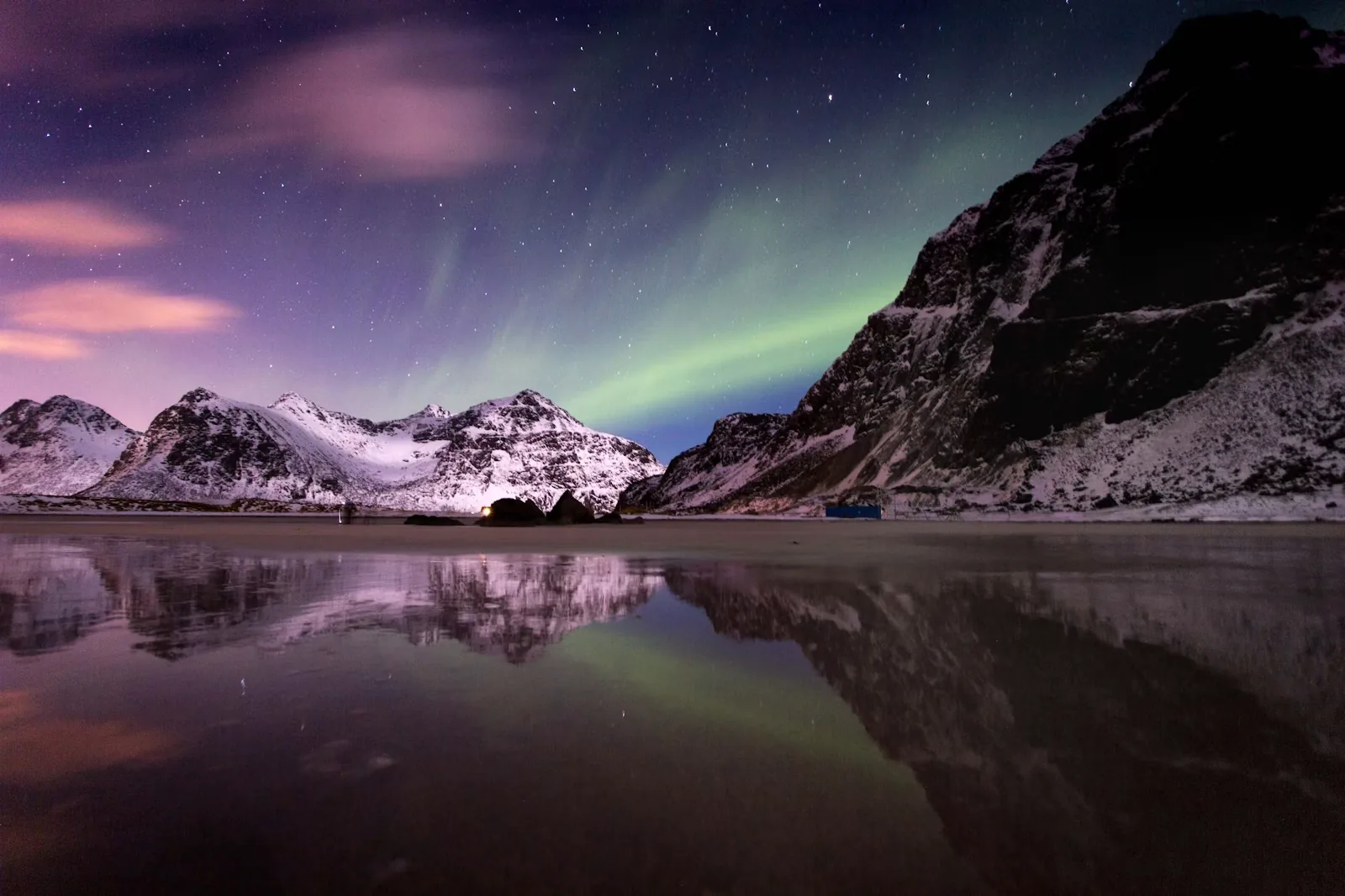
See how seasonal darkness, cloud and geomagnetic activity work together before opening the detailed checker.
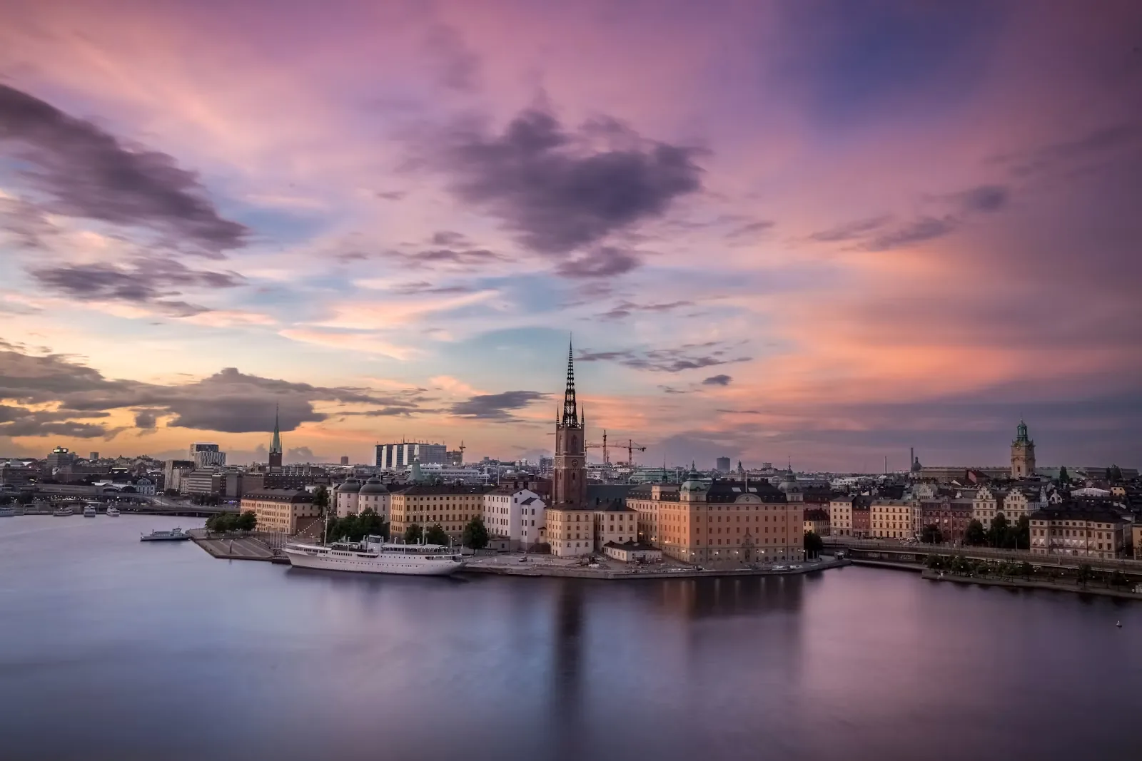
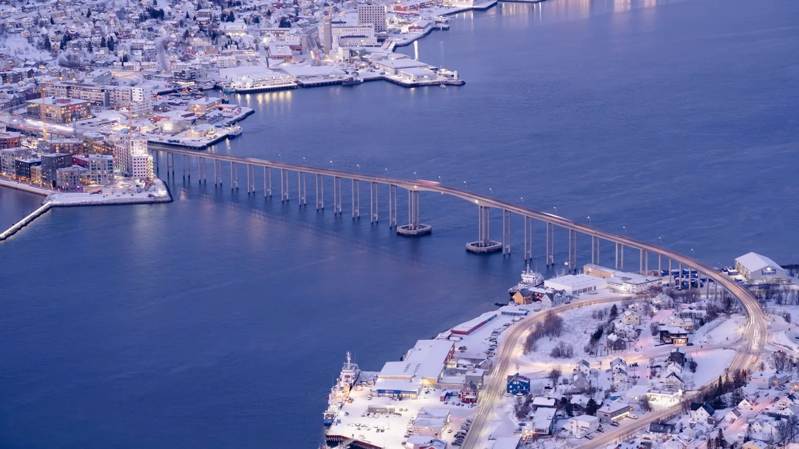
Compare approximate mid-month sunrise-to-sunset daylight across six useful Nordic bases.
Prepare well, pack lightly
Tick items on screen, then download a clean text checklist that keeps your progress.
Interactive experience 01
A fast four-question compass. For a deeper match, the full trip finder still considers budget, duration and traveller type.
One instinctive choice
Interactive experience 02
An honest planning score—not a live forecast. Use it to understand how darkness, cloud, location and Kp interact.
Possible viewing potential
Darkness, cloud and the selected geomagnetic activity are reasonably aligned.
No aurora sighting can be guaranteed. Check a live cloud forecast and short-term space-weather product close to the evening.Interactive experience 03
Shape a realistic sequence of bases and stops. The line shows order, not turn-by-turn navigation.
One strong transfer with breathing room
Stock up before crossing to the island.
Continue towards Ånderdalen when ready.One strong transfer with breathing room
Old forest, wetlands and lower-level walking.
Continue towards Bergsbotn when ready.One strong transfer with breathing room
A high roadside platform above Bergsfjorden.
Continue towards Tungeneset when ready.One strong transfer with breathing room
Boardwalk views towards the Okshornan peaks.
Continue towards Mefjordvær when ready.One strong transfer with breathing room
Fishing village base beneath sharp ridges.
Continue towards Husøy when ready.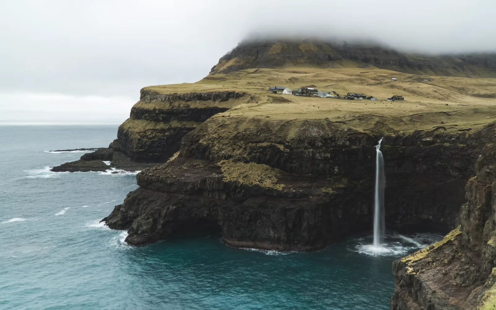
Interactive experience 04
Explore broad seasonal patterns, then follow the source for current locations, access and responsible viewing advice.
Faroe Islands
Usually present from late April to late August before returning to sea.
Stay on marked paths, keep away from burrows and never block a bird’s route to the sea.
Icelandic sea cliffs
The first birds generally return in mid-to-late April for the nesting season.
Observe quietly from established viewpoints and avoid cliff-edge shortcuts.
Iceland
Spring starts the main feeding-season pattern, with strong summer viewing potential.
Wildlife chooses the encounter. Responsible operators maintain distance and limit disturbance.
Tromsø region
Animals may be encountered around the wider region in different seasons.
Slow down near roadside animals and never approach, feed or surround them.
Interactive experience 05
Compare the character of each season without pretending a climate pattern is a forecast.
Troms · Norway
69.6° NBuild around short daylight and check current conditions before leaving town.
Frequently asked questions
Broad guidance for Scandinavia. Destination pages add the local weather, transport and access context.
Choose by experience rather than a single “best” month. June to August brings long light and broad road and trail access; September and October are quieter and atmospheric; Arctic dark-sky trips are strongest from late August into March. Exact access and daylight vary sharply by latitude.
Not for Copenhagen, Stockholm, Helsinki, Bergen or central Tromsø. A car becomes much more useful in Senja, Lofoten, Iceland’s South Coast, the Westfjords, Bornholm and Finnish Lakeland. Ferries, winter roads and one-way routes can still make public transport or a mixed plan the better choice.
Yes—if the route is genuinely matched to the least experienced person and current conditions. Norway’s green-graded routes are intended for beginners, while exposed ridges, snow, glaciers and avalanche terrain require different skills. Check the official grade, distance, ascent and forecast, and turn around early.
There is no single Scandinavian temperature. Winter coasts can hover near freezing while inland northern areas may fall to −10°C or −20°C, occasionally lower. Wind and moisture can matter as much as the number. Summer evenings can still feel cold in mountains and on exposed coasts.
Build around layers: a moisture-managing base, warm mid-layer and windproof waterproof shell, plus reliable footwear. Then adapt for the trip—insulation and grips in winter, eye mask and insect repellent for summer road trips, navigation and emergency items for hiking, and spare batteries for photography.